

Defense
Real-world defense intelligence across every domain.
- Detect anything
- Fuse everything
- Understand in real-time
- Protect what matters
- Enable decisive action
- Land
- Sea
- Air
- Space
The Rypplzz Advantage
A unified spatial intelligence fabric.
 01
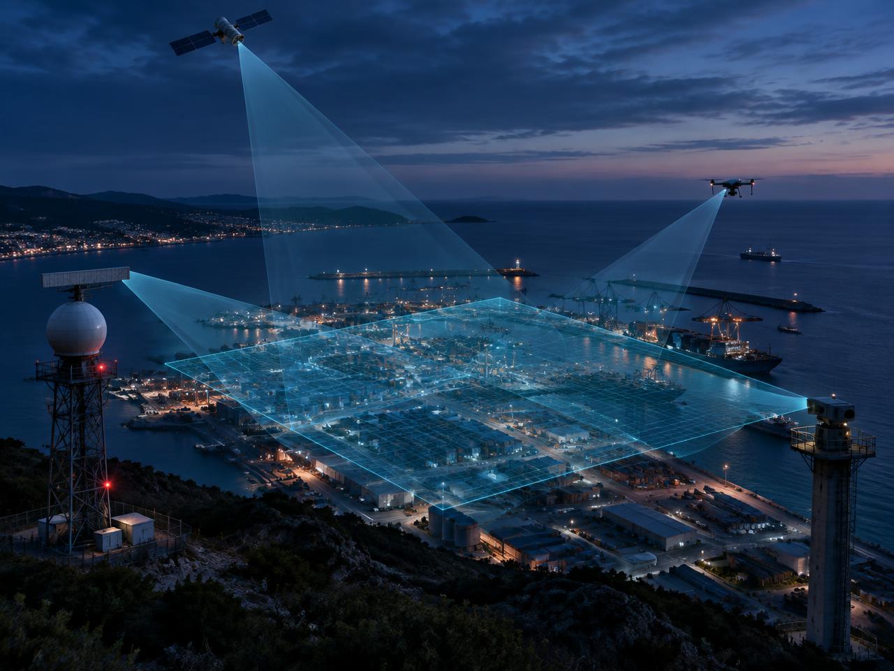
01Multi-Sensor Fusion
GNSS, RF, EO/IR, LiDAR, Acoustic, Radar, Space
 02
02AI-Powered Analytics
Real-time detection, classification, prediction
 03
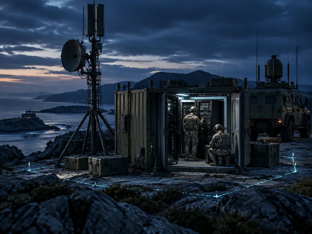
03Defense-Grade Architecture
Secure, resilient, mission ready
 04
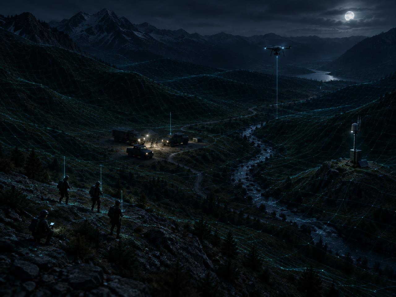
04Real-Time Battlespace Awareness
Common operating picture (COP)
 05
05Degraded Environments
Assured PNT & resilience without GPS
 06
06Open Architecture
Integrates with DoD, IC, allied systems
The Rypplzz Platform
From sensors to decisions.
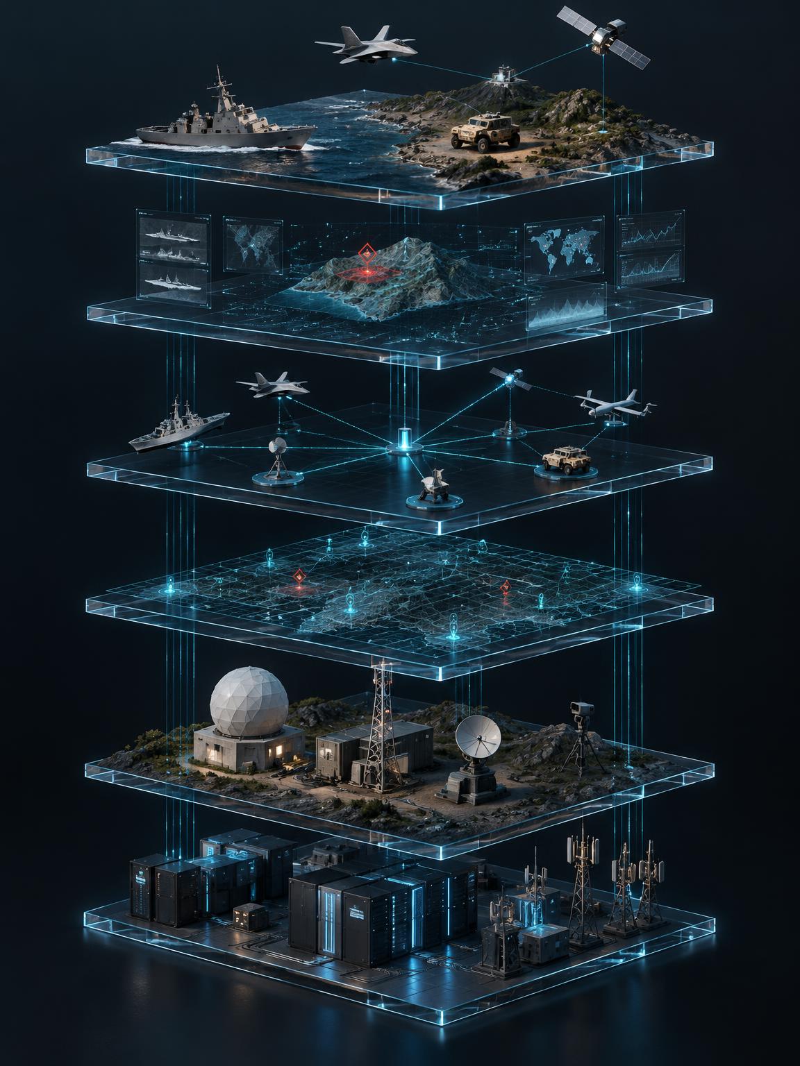
01Applications Layer
Mission solutions for Air, Land, Sea, Space, Cyber
02Intelligence Layer
AI/ML, threat detection, predictive analytics
03Fusion Layer
Multi-sensor data fusion & tracking
04Spatial Measurement Layer
Precision positioning, time, and sensing fabric
05Sensor Layer
GNSS, RF, EO/IR, LiDAR, Acoustic, Radar, Space
06Infrastructure Layer
Edge, cloud, on-prem, secure communications
Land · Sea · Air · Space
Global coverage. Local precision.

- Land
- Sea
- Air
- Space
- Space-based early warning
- Air, land, and maritime surveillance
- Counter-UAS and counter-swarm
- Missile detection and tracking
- Undersea and surface threat awareness
- Border and critical infrastructure protection
- Integrated with allied & U.S. systems
- Scalable from tactical to strategic
Domain Intelligence
One spatial picture. Every mission domain.
Air domain
Counter-UAS
Detect. Track. Identify. Neutralize.
- Multi-sensor UAS detection & tracking
- RF fingerprinting & Remote ID integration
- AI classification (friend/foe/unknown)
- C-UAS cueing & effectors integration
- Drone swarm detection and behavior analysis
Counter-UAS · Tracking & identification

Air domain
Air Domain Intelligence
Total airspace awareness.
- Integrated air picture (manned & unmanned)
- ADS-B, radar, RF, EO/IR fusion
- High-speed threat detection (cruise, hypersonic)
- Trajectory prediction & intent analysis
- Airspace deconfliction & asset protection
Air threat detection · Integrated air picture

Missile
Missile Detection & Tracking
Early warning. Predictive defense.
- Boost-phase detection & tracking
- Multi-domain sensor fusion (space, air, ground)
- Trajectory prediction & impact analysis
- Hypersonic & maneuvering target tracking
- Integrated with national missile defense architectures
Missile detection · Boost phase tracking · Trajectory prediction · Impact analysis

Space domain
Space Force Applications
Domain awareness beyond Earth.
- Space object tracking (SDA data integration)
- On-orbit anomaly detection
- Space situational awareness (SSA)
- Counter-space threat detection
- Support for resilient PNT & space-based sensing
Satellite sensing · Missile detection · Global persistence

Maritime domain
Navy & Maritime Defense
Dominate the maritime domain.
- Maritime domain awareness (MDA)
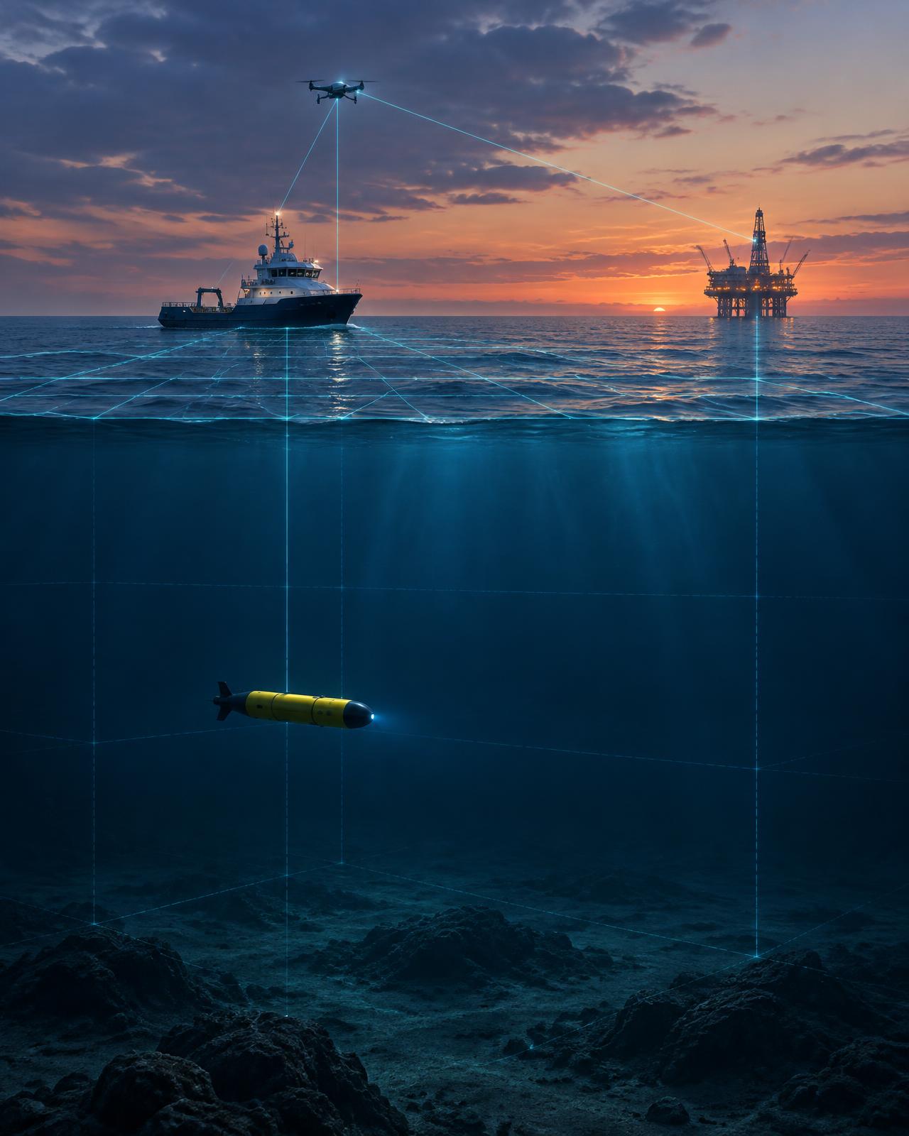
- Surface & subsurface threat detection
- Port, fleet & critical infrastructure protection
- Unmanned surface and subsurface tracking
- Integration with Aegis, NATO, and allied systems
Surface & subsurface threat detection · Port & fleet protection · Integrated naval ops
Land domainForce protection · Border security · Critical infrastructure · In-theater operations
Mission value
Defense-grade intelligence for a more secure tomorrow.
- Stronger allies.
- Safer nations.
- A more secure world.
Any domain. Any threat. Always ahead.