

Public Safety
When every second matters, location matters.
InterLife® by Rypplzz is a spatial intelligence platform that provides real-time 3D positioning, including floor-level location, with a confidence level for every position. It integrates with wireless carrier networks and with the NG911, dispatch, and command systems agencies already use.
The Location Gap
An address gets responders to the building. What happens next?
| Location Detail | Current Methods | With InterLife |
|---|---|---|
| Building | Yes | Yes |
| Floor (z-axis) | Limited or none | Yes |
| Position on the floor | Approximate | Yes |
| Movement over time | Point-in-time | Real time |
- Building
- Current MethodsYesWith InterLifeYes
- Floor (z-axis)
- Current MethodsLimited or noneWith InterLifeYes
- Position on the floor
- Current MethodsApproximateWith InterLifeYes
- Movement over time
- Current MethodsPoint-in-timeWith InterLifeReal time
3D Location
Know where. Including up.
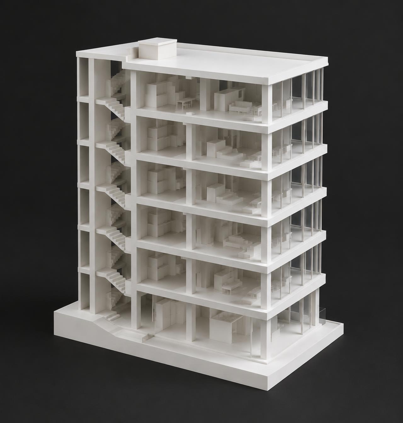
- X + YHorizontal position
- Where on the floor
- ZVertical position
- Which floor or level
- ConfidencePosition reliability
- How accurate and current the position is.
InterLife combines authorized measurements from wireless networks (4G/5G), GPS, Wi-Fi, Bluetooth, ultra-wideband, device motion and pressure sensors, in-building wireless systems, wearables, and trusted building sensors. When one source drops out, such as GPS indoors, others can continue to support the position.
Where GPS Alone Falls Short
- High-rise buildings
- Vertical location
- Parking structures
- Multi-level movement
- Stadiums and venues
- Dense crowds
- Airports
- Large, complex facilities
- Campuses
- Distributed buildings and outdoor spaces
- Critical facilities
- Operationally complex environments
- Stairwells and basements
- Floor transitions without GPS
- Tunnels
- Underground environments
- Dense urban areas
- Degraded GPS between tall buildings
Situational Awareness
Not just where they are. What's happening around them.
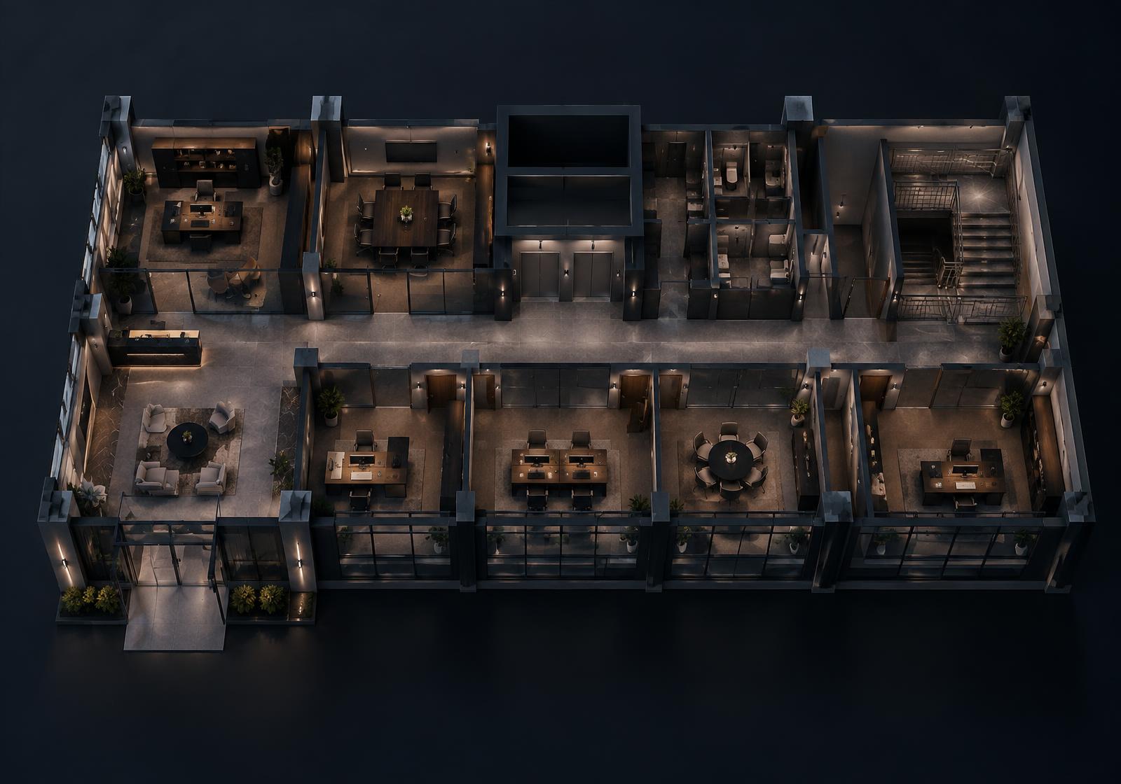
- Zone:
- A defined area within a structure, such as a floor, stairwell, or restricted area.
- Spatial event:
- Activity InterLife detects in relation to a location or zone, such as entering or leaving it.
Responders, Radios, and Drones
Your people and aircraft, in the same picture.
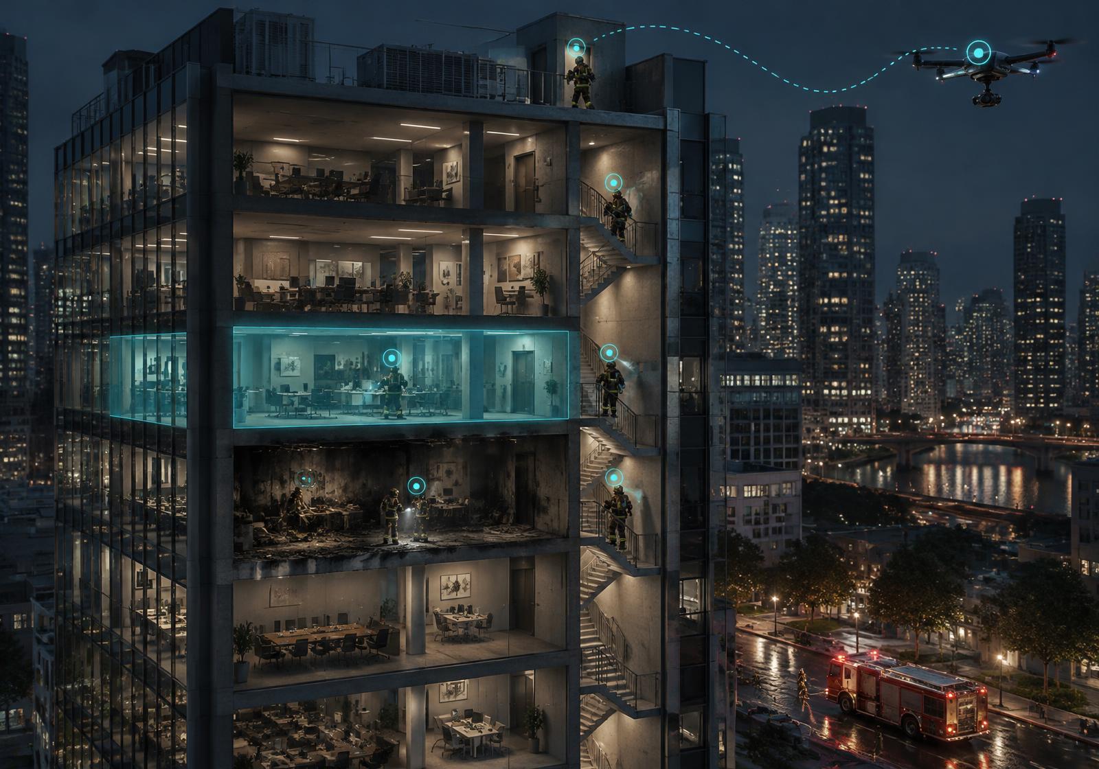
- Responder tracking
- Position, floor, and movement as responders go from outdoors into stairwells, interiors, and basements, and back out.
- Radio correlation
- Authorized push-to-talk and P25/LMR identities can be associated with each responder's live location. InterLife is not in the voice path.
- Emergency and man-down alerts
- Alerts can carry the responder's floor and position.
- Team awareness
- Which responders are near each other, the caller, or a hazard.
- Drone as First Responder
- Drone position and flight path shown alongside the incident, caller, and responders.
- Airspace awareness
- Unknown drones detected by authorized sensors can be tracked and distinguished from friendly aircraft.
How It Works
One shared picture of where people are and what's happening.
InterLife provides
- 3D location: building, floor, and position
- Movement, zones, and spatial events
- A shared spatial layer across connected systems
Your agency and systems
- Decide how to act on it
- Keep your existing workflows and protocols
- Choose where it's displayed and who sees it
Public Safety Applications
One spatial foundation. Multiple missions.

E911 and Emergency Communications
3D location, floor, movement, and confidence information can provide additional spatial context to NG911 and emergency communications when integrated with compatible systems.
Fire and Rescue
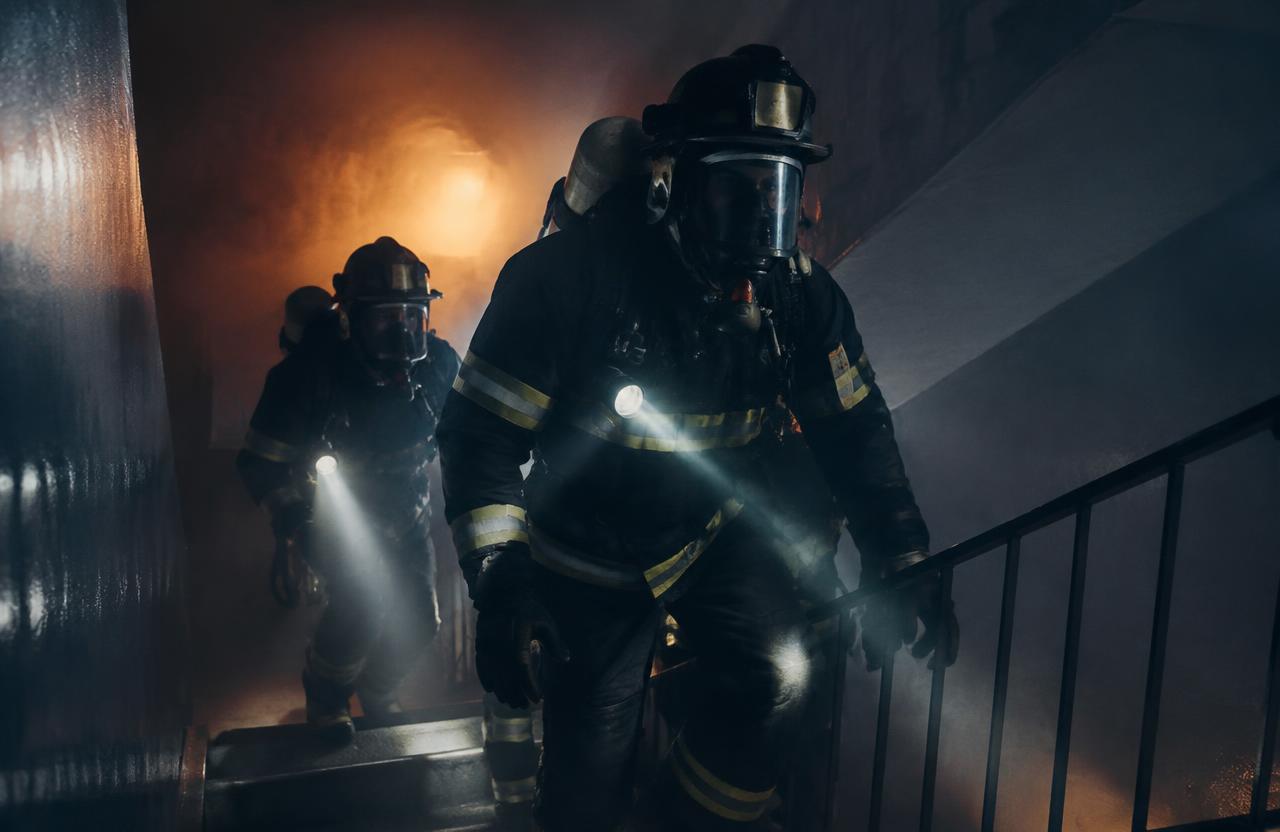
Spatial positioning can support awareness of personnel, equipment, and activity within complex structures, including floor-by-floor tracking and location-enriched emergency and man-down alerts.

Law Enforcement
Shared location and movement information, associated with authorized radio identities, can support coordinated operations across facilities, campuses, and public spaces.

Large Venues and Campuses
Spatial awareness can help connected security and response systems understand activity across large, complex environments, including unknown drones where authorized sensors are deployed.
Critical Infrastructure
Positioning and spatial context can support awareness of people, equipment, and movement across critical facilities, on the ground and in the airspace above.
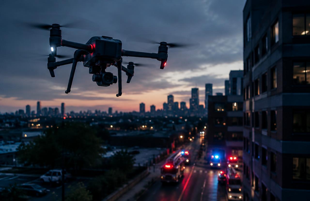
Drone as First Responder
Drone position and flight path can be correlated with the incident, caller, and responder locations in one spatial picture.
Commercial Deployment